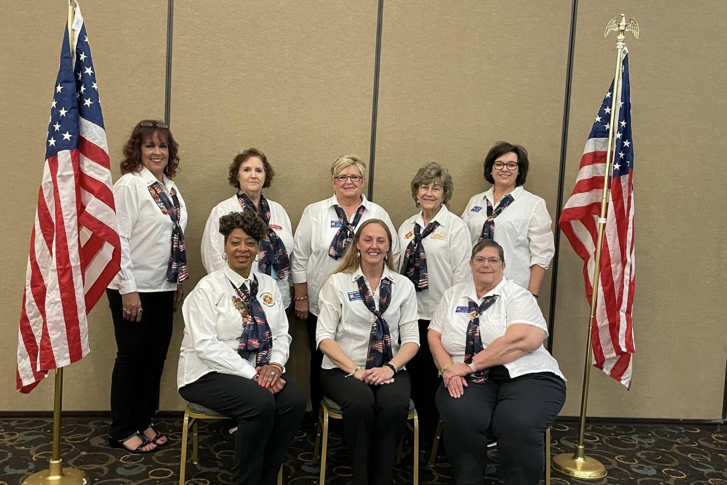
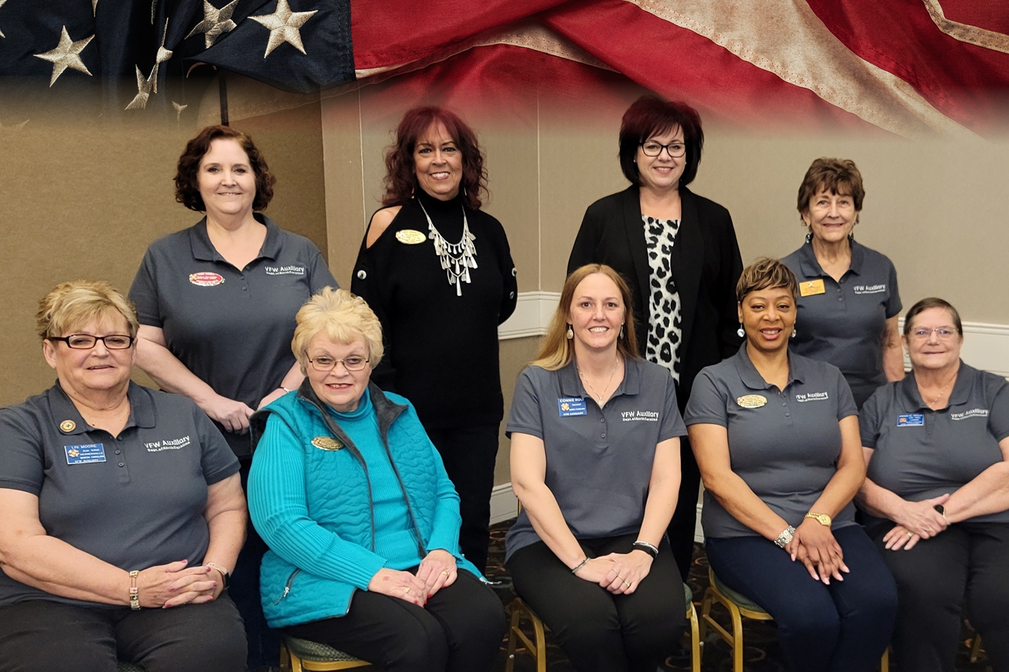
VFW AUXILIARY DEPARTMENT
of NORTH CAROLINA
HOME
ABOUT
OFFICERS
ABOUT US
MISSION
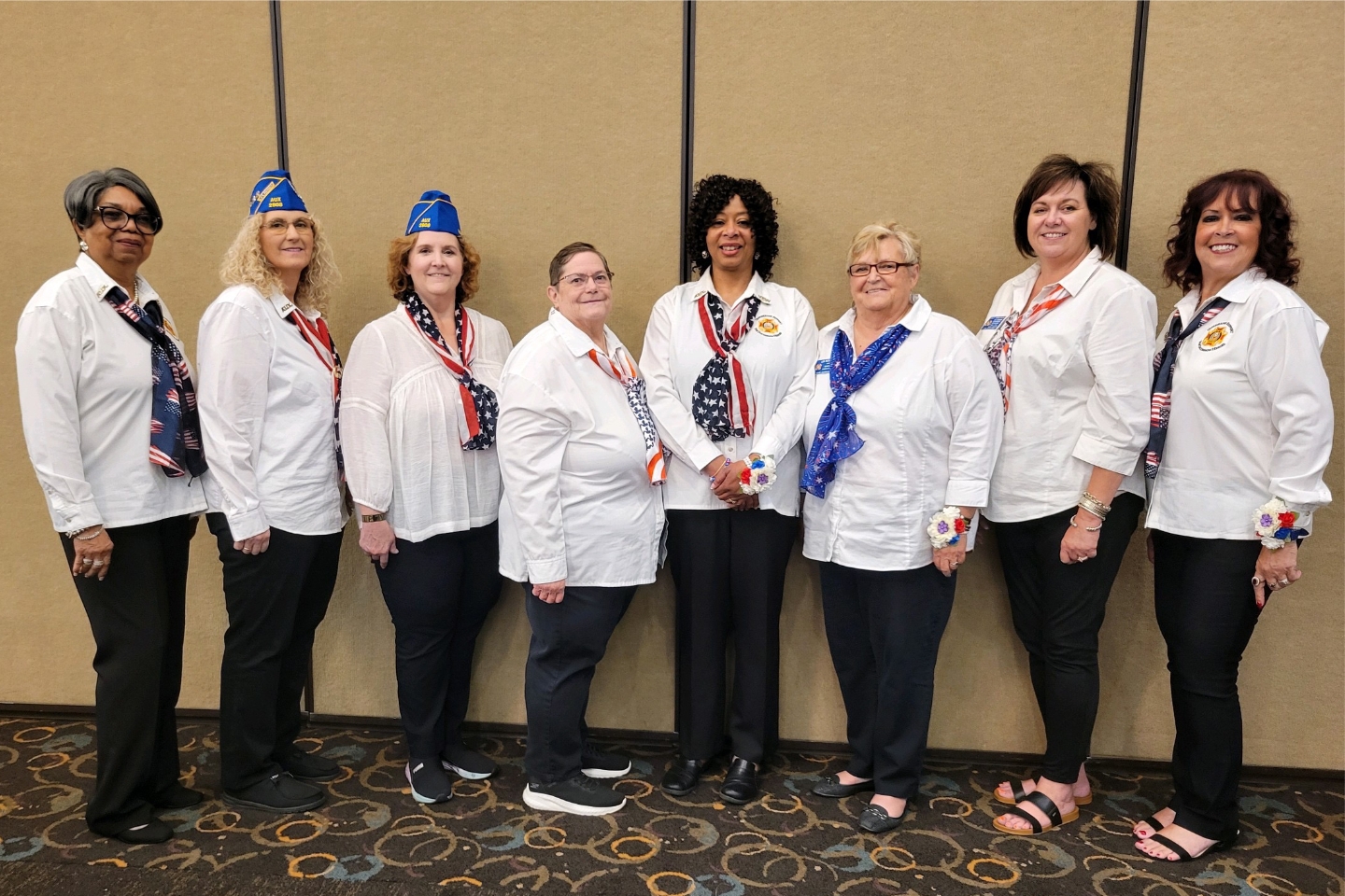
GALLERY
FAQS
PROGRAMS
PROGRAM REPORTING ENTRY
VETERANS AND FAMILY SUPPORT
AMERICANISM
BUDDY POPPY/VFW NATIONAL HOME FOR CHILDREN
CHIEF OF STAFF / HEALTHY AUX
COMMUNITY OUTREACH PROGRAM
HISTORIAN/MEDIA RELATIONS
HOSPITAL
LEGISLATIVE
MEMBERSHIP
SCHOLARSHIPS
YOUTH
NC SCHOLARSHIP
DEPT. PRESIDENT'S SPECIAL PROJECT
ONLINE REPORTING
RESOURCES
DEPARTMENT PROGRAM BOOK
MONTHLY DEPARTMENT MAIL
BULLETIN BOARD (ADDITIONAL INFORMATION)
MONTHLY MEMBERSHIP REPORT
SPECIAL ANNOUNCEMENTS/EVENT INFORMATION
AUXILIARY FORMS/INFORMATION
DISTRICT FORMS/INFORMATION
DEPARTMENT FORMS/INFORMATION
DUTIES OF OFFICERS/COMMITTEES
OF THE YEAR FORMS
NATIONAL PROGRAM AMBASSADOR PROMOTIONS
NATIONAL FORMS/INFORMATION
NATIONAL PROGRAM AWARDS FOR AUXILIARIES
NATIIONAL YEAR END REPORTS
DEPARTMENT PROGRAM REPORTING GUIDE
PROGRAM FORMS/INFORMATION
MEMBERSHIP/HEALTHY AUXILIARY INFORMATION
MOCA INFORMATION
RECRUITING AIDS
MAYBERRY SCHOLARSHIP
BILLY RAY CAMERON GOLF TOURNAMENT
SCHOLARSHIPS
TREASURERS INFORMATION
SECRETARY INFORMATION
INCORPORATION INFORMATION
NAME CHANGE W/ IRS REQUIREMENTS
VETERAN DISCOUNTS
RESOURCES
NEWS
CALENDAR
NEWS
CONTACT
LOGIN
WebMail
Report Entry
Members Only
Site Admin
-
Previous
Next
x
Close
SEE FULL GALLERY